


Exclusive: How Punjab Farmers Time Crop Burning to Avoid NASA Satellites, Scientist Explains
New Delhi:
Thermal Inversion – A Key Factor
Thermal inversion is a big factor behind the sudden spike in dense smog and pollution levels.
He noted that fog over the Indo-Gangetic Plain (IGP) is occurring earlier, in November instead of December, due to higher particulate matter (PM) that aids in fog formation. Lower temperatures and increased aerosols also contribute to the thickening fog.
Farmers Avoiding NASA Satellites?
Mr Jethva said, “It is not true that farm fires in Punjab and Haryana have gone down.”
Mr Jethva claimed that farmers in Punjab are timing crop burning with the overpass of NASA satellites. He said, “We use the afternoon satellite overpass time data from NASA Satellites like Suomi NPP and Aqua.
Mr Jethva in an X post, shared satellite images from October 29, taken by the GEO-KOMSAT A2 satellite, shows a timelapse of the crop-burning activities in northwest India.
“The pollution loading in the last two weeks has reached the highest level that we haven’t seen in the last 10 years…The crop burning has gone down over a certain period. It lasts for at least four hours.”
Of course, there is a drastic drop around 1:30 p.m., but if we see the burnt area data, there has been no drastic decrease.”
As per government data, Punjab recorded 49,922 farm fire events in 2022, 71,304 in 2021, 76,590 in 2020, 55,210 in 2019 and 50,590 in 2018 with many districts including Sangrur, Mansa, Bathinda and Amritsar witnessing a large number of stubble burning incidents.
Mr Jethva concluded by saying “Yes, farmers can hide the crop burning from the 1:30 pm overpass time but the PM 2.5 data and the pollution load over the Indo-Gangetic plain region, the geostationary satellite data and the burnt…everything is pointing toward fire is still present. Maybe it’s still increasing…Smog towers are a small fix. It won’t work unless we address the issue of crop burning in the region.
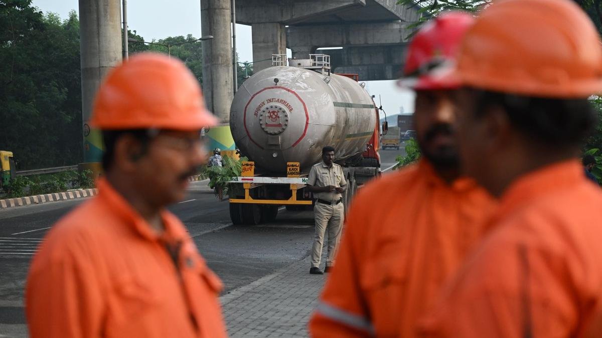
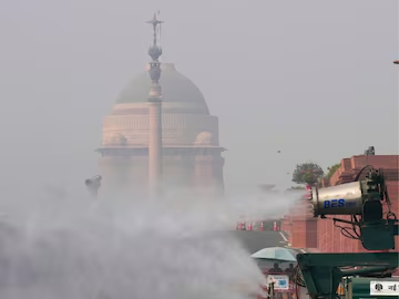
Toxic Air In Delhi
Several factors contribute to pollution in the Delhi-NCR region including the emission of gases from vehicles, stubble burning in Punjab and Haryana and construction and dumping activities.
The situation worsens every year after Diwali due to the bursting of firecrackers, which have been under a blanket ban in Delhi for the last few years.
Last morning, dense smog caused zero visibility at the Indira Gandhi International Airport in Delhi, disrupting flight operations.
This marks Delhi’s worst air quality reading of the season and the highest in the country, with a 24-hour AQI of 418 on Wednesday, an increase from 334 the day prior.
It could result in brain strokes, heart attacks, panic attacks and various types of cancer, a decreased life expectancy. Dr Nangia said.
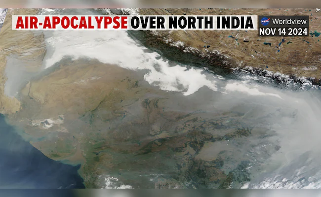
The satellite image shows the whole of Delhi and its adjoining areas covered under a dense layer of smog. On November 14, 2023, a less dense cloud cover was visible over the Indo-Gangetic plain from Punjab to Uttar Pradesh. On November 14, 2024, the density of the smog cover appears to have doubled than what it was at the same time last year.
The Supreme Court today agreed to expedite a hearing on measures to combat the city’s hazardous pollution levels on November 18.
Situation In Pakistan
The situation is bad in neighbouring Pakistan too.
Districts like Lahore, Multan, Faisalabad, and Gujranwala have seen a rise in respiratory issues, eye irritation, and throat problems.
Lahore’s air quality has remained hazardous for several days with an index score of over 600, according to IQAir. At 8 pm (IST) today, Lahore is the world’s most polluted city with an AQI of 1136, as per IQAir. Delhi ranks second on the index with ‘very poor’ air quality.
For comparison; As per the IQAir monitor, Washington DC is the cleanest city in the world with an AQI of 31.